
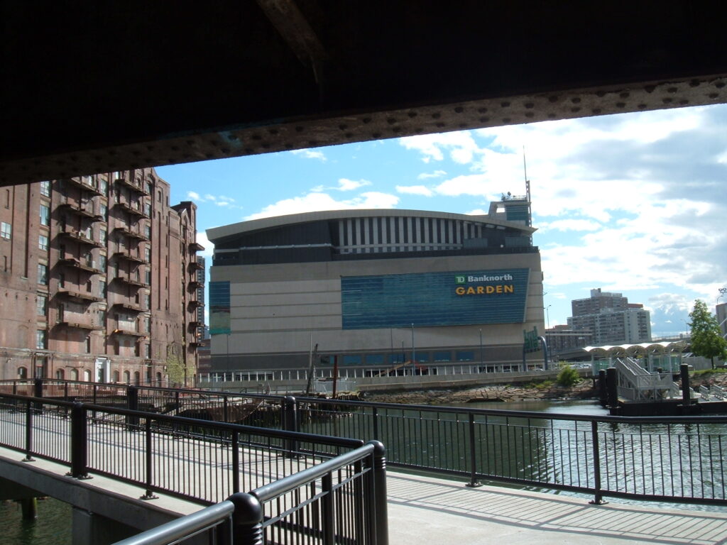
The Boston Harborwalk is a continuous public path tracing the city’s shoreline, linking parks, wharves, beaches, and waterfront neighborhoods along Boston Harbor. Conceived as part of the 1984 Harborpark plan, it has grown for decades as new waterfront development is required, under Massachusetts’ Chapter 91 public-waterfront law, to set buildings back from the water and provide accessible public access along the shore.
Today the walkway stretches dozens of miles and threads through East Boston, Charlestown, the North End, the Wharf District, the Seaport, Fort Point, South Boston, and Dorchester, with a planned extension toward the Neponset River. Along the way you’ll pass historic piers, public art, interpretive signage, harbor views, and ferry landings. It is free and open year-round. Because the route is long and connects many neighborhoods, consult the Boston Harbor Now or official Harborwalk maps to plan a manageable segment.
Good to know
- Free and open to the public year-round
- Spans roughly 40-plus miles along Boston Harbor across eight neighborhoods
- Public access is guaranteed under Massachusetts’ Chapter 91 waterfront law
- Best explored in segments using an official map rather than end to end
Getting there
- Address: Waterfront path spanning multiple Boston neighborhoods; check the official Harborwalk map for access points
- Neighborhood: Multiple waterfront neighborhoods (East Boston, North End, Wharf District, Seaport, South Boston, Dorchester, and others)
- Nearest T: Aquarium (Blue Line) serves central downtown segments; access points vary by neighborhood