
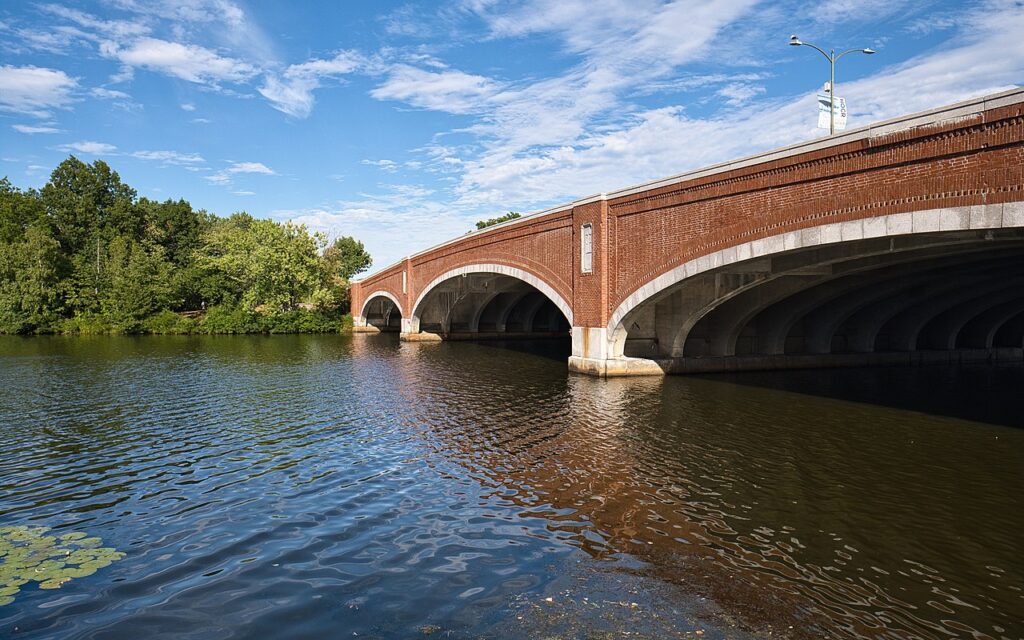
The Charles River Reservation is a linear network of riverside parkland managed by the Massachusetts Department of Conservation and Recreation (DCR), stretching for miles along both banks of the Charles River. Its Brighton segment runs along Soldiers Field Road on the Boston side of the river, opposite Cambridge, offering green riverbanks, paved paths and open views of the water and the rowers, sailboats and crew shells that are a signature of the Charles.
This stretch is a magnet for walking, running, cycling and picnicking, and it connects into the Paul Dudley White Bike Path that traces the river through Boston and Cambridge. Near the Brighton-Allston riverfront sits the restored historic Charles River Speedway complex, and Paddle Boston operates kayak and canoe rentals along this part of the river in season. As a long, continuous park there is no single street address; access points run along Soldiers Field Road and connecting paths.
Good to know
- Free DCR riverside park running for miles along the Charles; the Brighton section follows Soldiers Field Road
- Connects to the Paul Dudley White Bike Path for walking, running and cycling along the river
- Paddle Boston offers seasonal kayak and canoe rentals on this part of the Charles (check its site)
- A long linear reservation with many entry points rather than a single address
Getting there
- Address: Along Soldiers Field Road, Brighton, Boston, MA 02135 — a linear riverside park with multiple access points; check the official DCR listing for the exact area
- Neighborhood: Brighton (Allston-Brighton riverfront)
- Nearest T: Nearest MBTA service varies by access point — check mbta.com (Green Line B stops along Commonwealth Ave are the closest rapid transit)