
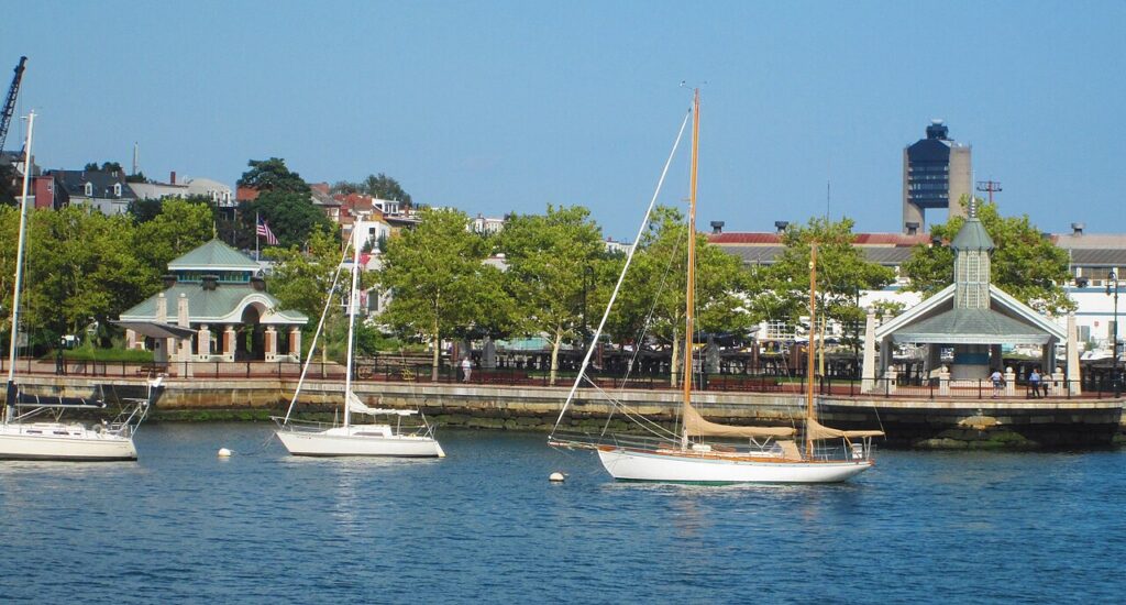
The Boston Harborwalk is a public waterfront path that traces the harbor’s edge along piers, wharves, and shoreline, and its East Boston stretch offers some of the best skyline views in the city. The most popular access point is Piers Park, an 11-acre waterfront park that opened in 1995 on a historic pier extending out into the harbor. From its lawns and pier promenade, visitors look directly across the water to downtown Boston.
The East Boston waterfront connects a string of parks and open spaces, making it a relaxed place to stroll, picnic, or watch boats and planes near Logan Airport. Piers Park is also home to a community sailing center. The neighborhood segment sits about a ten-minute walk from Maverick station on the Blue Line. The full Harborwalk is still expanding, so check current maps for completed sections.
Good to know
- A continuous public waterfront path; the East Boston section centers on Piers Park
- Piers Park opened in 1995 and offers some of Boston’s best skyline views
- Home to a community sailing center on the harbor
- About a 10-minute walk from Maverick station on the Blue Line
Getting there
- Address: Accessible from Piers Park, 95 Marginal Street, East Boston, MA 02128 (the Harborwalk is a continuous waterfront path with many access points; check the official listing for the segment you want)
- Neighborhood: East Boston
- Nearest T: Maverick (MBTA Blue Line)